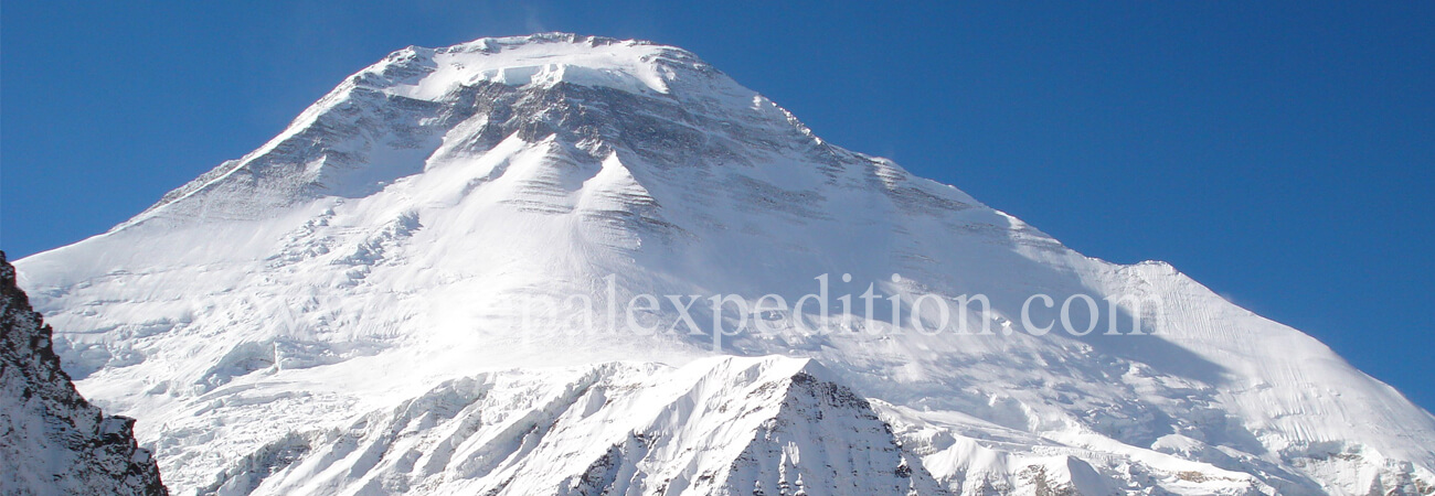
Mt. Dhaulagiri 8167m. Expedition
Spring
Fixed Departure: 06 April, 2018
Location: Asia, Nepal
Himalayan Range: Dhaulagiri Himal
Height: 8,167m. (26,795 ft)
Latitude: 28º 41’ 54” N
Longitude: 83º 29’ 15” E
Trip Duration: 45 Days
Normal Ascent Route: North East Ridge
First Ascent: May 13, 1960 by Kurt D., A. Schelbert, E. Forrer, Nawang, Nyima Dorje - Winter ascent 21 Jan. 1985 Jerzy K. and Andrzej Czok)
Easiest Route: Glacier/Snow/Ice climb
Grade: Strenuous High
Caravan Route: Kathmandu - Beni Bazaar - Marpha village - Yak Kharka - Dhaulagiri Base Camp - Marpha Village - Kathmandu
Mt. Dhaulagiri 8167m. is the 7th highest mountain in the world and its located in the Dhaulagiri Himal which is lies in the Dhaulagiri Zone of north-central Nepal, northwest of Pokhara. Its name is derived from Sanskrit “Dhavala" means "White" and Giri is "Mountain". The Mountain first time scaled by Mr. Ernest. Forrer and his team K. Diemberger, P. Diener, A. Schelbert from Switzerland in May 13, 1960 via North East Ridge. A French team was permitted to climb either Annapurna or Dhaulagiri in 1950 but decided to climb Annapurna after a reconnaissance of Dhaulagiri. A Swiss team tried to climb Dhaulagiri in 1953 but failed to reach the summit. Normally, four camps will be fixed for Dhaulagiri climbing. Advance base camp will be set up at 5,300 meter which is used for depositing the stuff and not for camping due to avalanche danger cases. If we could not approach the summit from Camp IV due to bad weather or other reasons, we will have to fix bivouac at 7,900 meter and next day try to push to the summit. The town of Pokhara is south of the Annapurnas, an important regional center and the gateway for climbers and trekkers visiting both ranges as well as a tourist destination in its own right.
Dhaulagiri 1st Climbing History:
Most ascents have followed the northeast ridge route of the first ascent, but climbs have been made from most directions. As of 2007 there had been 358 successful ascents and 58 fatalities. Between 1950 and 2006, 2.88% of 2,016 expedition members and staff going above base camp on Dhaulagiri I died. Dhaulagiri I's sudden rise from lower terrain is almost unequaled. It rises 7,000 m (22,970 ft) from the Kali Gandaki River 30 km to the southeast. The south and west faces rise precipitously over 4,000m. (13,120 ft). The south face of Gurja Himal in the same massif is also notably immense.

