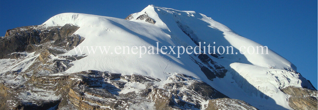
Mt. Thorang Peak (6,144m.) Expedition
Autumn
Fixed Departure: October 07, 2018
Location: Asia, Nepal
Himalayan Range: Annapurna Himal
Height: 6,144m. - (20,157 ft)
Latitude: 28° 47′ 34.83″ N
Longitude: 83° 56′ 17.44″ E
Trip Duration: 17 Days
Normal Ascent Route: North East
First Ascent:
Easiest Route: Glacier/snow
Grade: Strenuous High
Caravan Route: Kathmandu - Besi Shahar - Chame - Pisang Village - Pisang Base Camp - Thorang-La Pass - Jomsom - Pokhara - Kathmandu
Thorang peak is a snow mountain situated in Annapurna Himalayan range and it is the good blending of viewing natural as well as cultural aspects of mountainous region. On the left, southern part of Thorang Peak lies Gya la (3970m.) which is situated between Totang and Muktinath. The highest point for this trekking is Thorang La Pass (5416m.) destined to Thorang Peak (6144m.). The trails takes you through a typical hill country inhabited by Gurung people. Mt. Thorang peak is spontaneous but it requires permits as well as climbing techniques in trekkers. As well as the proper health condition is required to maintain. The top of this peak offers you the spectacular view of Tilicho peak, Dhaulagiri range, Nilgiri peak, Annapurna range from where the pass you have to walk and climb about 150m. to reach the beginning of the glacier. The first pitch is the steepest (up to 45°-50°). After that slopes with about 30° lead to a plateau (about 5900m.). Then you have to climb a second step (up to 40°-45°) to gain slopes that become less steep the higher you get and the summit is just an even plateau. After the next pass a sharp ridge would lead to the "real" Khatung Kang which would be by far more difficult and would probably require a high camp. The approach to the mountain is identical with the Trekking around Annapurna with starting point either in Besishahar or Jomsom.

